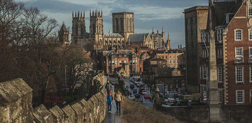
The biggest investigation ever undertaken into Eboracum, the Roman city buried beneath York, is set to begin this summer. Ground penetrating radar will be used to map as much of the influential ancient settlement as possible in a bid to learn more about its evolving layout and use.
The biggest investigation ever undertaken into Eboracum, the Roman city buried beneath York, is set to begin this summer. Ground penetrating radar will be used to map as much of the influential ancient settlement as possible in a bid to learn more about its evolving layout and use.
We hope to learn much more about the layout of the Roman city
Martin Millett
Did the Romans alter their legionary fortress at Eboracum in the late Antique period? What was the settlement around it like and how did this change? Did Eboracum receive a makeover when emperors came to town?
These are just some of the questions which Cambridge archaeologist Professor Martin Millett and his colleagues hope to answer without lifting a single spade or trowel.
Over summer 2022, a vehicle equipped with specialist radar equipment will survey 20km of streets around York – the first time a project on this scale has been undertaken in the UK. The team behind the scheme are working with City of York Council to access as much of the city centre road network as possible, including some pedestrianised streets, during the survey, with minimal disruption to the public.
Alongside the road surveys, a different radar system will scan the green spaces in the city centre, particularly around the Yorkshire Museum and York Minster.
The initiative is a joint project between Universities of Cambridge and Reading, York Archaeology and the York Museums Trust funded by the Arts & Humanities Research Council (AHRC). The 30-month-long project aims to collate everything archaeologists and historians know about the whole of Roman York into a single database which will then be made freely available to the public.
Among many other things, the team will be looking for evidence of Eboracum's architecture and infrastructure being enhanced during periods of imperial residence (AD 208–11 and AD 305-06), or following York’s promotion to colonial status in the early 3rd century. They are also hoping to find evidence for changes in the organization and use of land in the immediate environs of York through the Roman period.
Alongside the research there will be a series of public engagement projects including volunteer-run research projects, an art initiative and a project for schools around the country linking research findings to geography, physics, geology and archaeology.
The radar mapping exercise will start in the summer, with dry weather being crucial to the success of the scanning, as the radar can only penetrate down to the water table, which is notoriously high for much of the year in York.
Project leader Martin Millett, Laurence Professor of Classical Archaeology at Cambridge and a trustee of York Archaeological Trust, said: “This is a key initiative where we hope to learn much more about the layout of the Roman city without having to dig a single trench.”
Co-investigator Dr John Creighton of the University of Reading said: “Over many years, various investigations have opened small windows into different parts of the Roman city, but we hope that this scanning will reveal far more about the city including details where the roads and significant buildings in the city were located, particularly around Micklegate.”
The wider research will bring together not only the results of archaeological excavations over the last 50 years, but also other less formal sources of information, including historic press reports of Roman finds, notebooks and published reports from the 18th century onwards. It is hoped that volunteers from across the community will be involved.
Cllr Darryl Smalley, Executive Member for Culture, Leisure and Communities at City of York Council, said: “This exciting new project will provide a new basis for understanding of Roman York and will enhance the ways in which the City can assess the impact of planning and future development on this valuable but hidden heritage.”
Updates on the project will be posted on yorkarchaeology.co.uk/romanyork
Professor Millett recently led the team which successfully mapped a complete Roman city, Falerii Novi, in Italy, using the same technology. This research received global media coverage. Find out more here.

The text in this work is licensed under a Creative Commons Attribution 4.0 International License. Images, including our videos, are Copyright ©University of Cambridge and licensors/contributors as identified. All rights reserved. We make our image and video content available in a number of ways – as here, on our main website under its Terms and conditions, and on a range of channels including social media that permit your use and sharing of our content under their respective Terms.


