An online database which promises to change our understanding of English society on the eve and in the aftermath of the Norman Conquest has been launched online.
An online database which promises to change our understanding of English society on the eve and in the aftermath of the Norman Conquest has been launched online.
Essentially, it's now possible for anyone to do in a few seconds what it has taken scholars weeks to achieve in the past.
Dr. Stephen Baxter
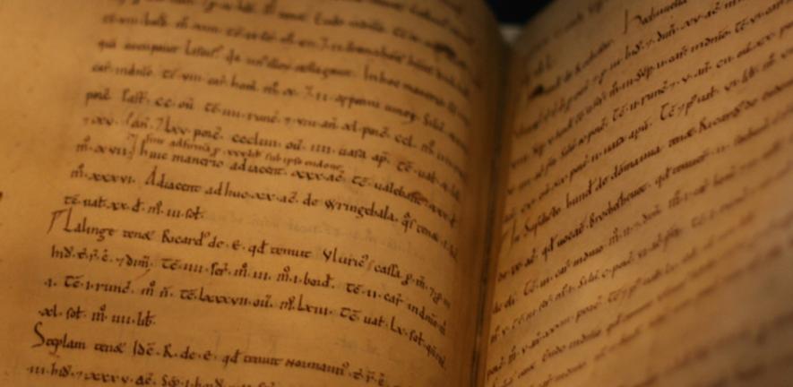
"PASE Domesday", which is released today, links information from the Domesday survey (1086) to maps showing the location of estates throughout England.
It has been created by a team of researchers from the University of Cambridge and King's College, London, and can be visited for free at:https://domesday.pase.ac.uk:443/
The site enables users to list, map and quantify the estates of all the landholders named in William the Conqueror's great Domesday survey of 1086 at the click of a button.
Visitors can find out who owned their town or village, create maps and tables of the estates held by the same lords elsewhere in England, and examine the scale of the dispossession of the English by the Normans following the conquest of 1066.
The launch coincides with, and will be featured in, a one-hour documentary on Domesday Book which will be broadcast on Tuesday, 10 August. It also forms part of a wider project, "The Prosopography of Anglo-Saxon England" (PASE), which aims to capture information relating to all the recorded inhabitants of England, from the late sixth to the late 11th century, in a single online database, and will be launched later this year.
The project was funded from 2000 to 2004 by the Arts and Humanities Research Board, and from 2005 to 2008 by the Arts and Humanities Research Council (AHRC).
PASE Domesday is designed to help answer one of the great unsolved questions of English medieval history: What was the structure of English landed society in 1066?
Although Domesday Book, the most complete survey of any medieval landed society, has been intensively studied, the sheer logistical difficulty involved in assembling information from its own contents and other sources has prevented scholars from forming a complete picture of the aristocracy that was defeated by the Normans at Hastings.
By removing the logistical barriers, PASE Domesday opens up the prospect of a breakthrough in the way historians understand a critical phase of English history, enabling them to build up a profile of the Anglo-Saxon elite that was overrun after William the Conqueror's victory.
To create it, researchers painstakingly processed the vast quantity of data found in the various products of the Domesday survey of 1086. The work was carried out by scholars in the University of Cambridge's Department of Anglo-Saxon, Norse and Celtic, and at King's College, London.
"Constructing this database has been quite an exercise, but it is a phenomenally useful research tool," Dr. Stephen Baxter, who led the Domesday part of the project, said. "Essentially, it's now possible for anyone to do in a few seconds what it has taken scholars weeks to achieve in the past."
"The breakthrough has been made possible by the wonders of modern technology, in selecting and arranging the data, in generating the maps, and in presenting the possibilities," added Professor Simon Keynes, of the Department of Anglo-Saxon, Norse and Celtic, and a co-director of the PASE project. "One can then begin to detect the patterns and to make the informed judgements which will help to produce a significant result."
Further details about the PASE project as a whole can be found at https://pase.ac.uk:443/
PASE Domesday will feature in the "Domesday" special as part of the BBC's Norman Season on Tuesday, 10 August, at 8pm.

This work is licensed under a Creative Commons Licence. If you use this content on your site please link back to this page.


